
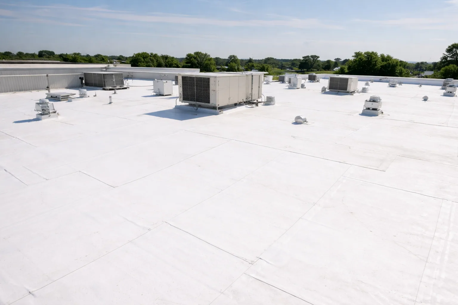
Drone Roof Inspection in Escondido, CA
Commercial Roofing Services · Escondido, CA
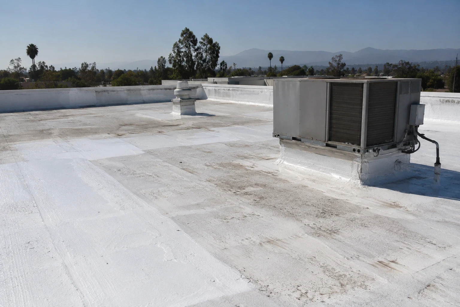
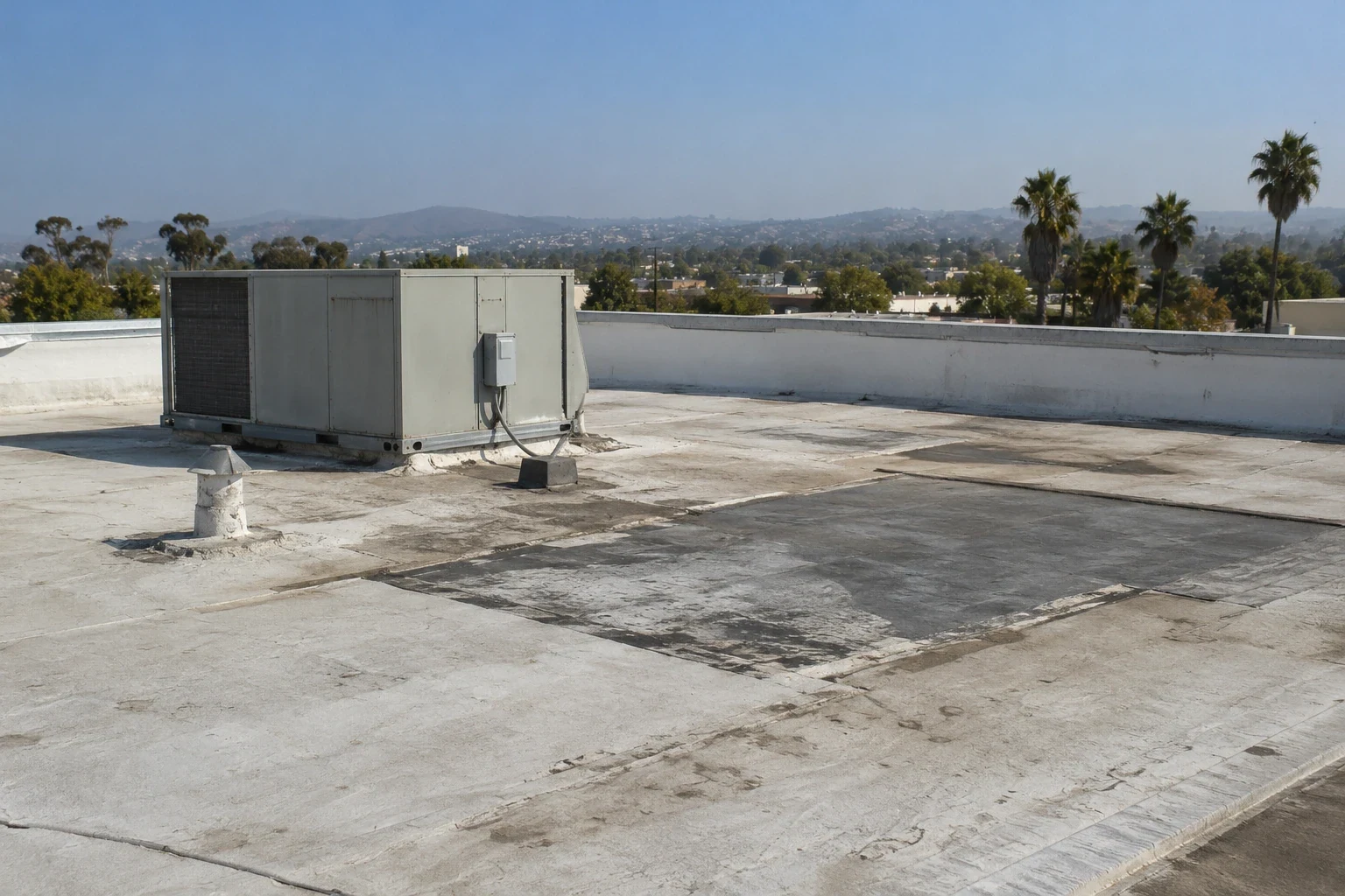
A roof edge behind rooftop equipment can be difficult to inspect from a hatch. Drone imaging gives the project team another view of broad surfaces, transitions, and hard-to-reach areas. It does not replace hands-on review where contact, probing, or moisture confirmation matters. We plan the flight around site access and safe operating conditions, then connect images to specific roof areas. Escondido supports technology, manufacturing, and office operations. For those properties, we confirm equipment layouts, escorts, and roof-entry limits before setting an imaging route. The use helps shape the access questions; the actual roof conditions determine what the images can answer. The deliverable should show what the images reveal, what remains hidden, and which repair question the next check must answer.
Where Aerial Images Help
A drone can capture a roof overview without placing a worker on every section. Images can show surface staining, debris, visible ponding, displaced material, or the general arrangement of rooftop equipment. They can also help compare roof areas and document exterior details from consistent viewpoints.
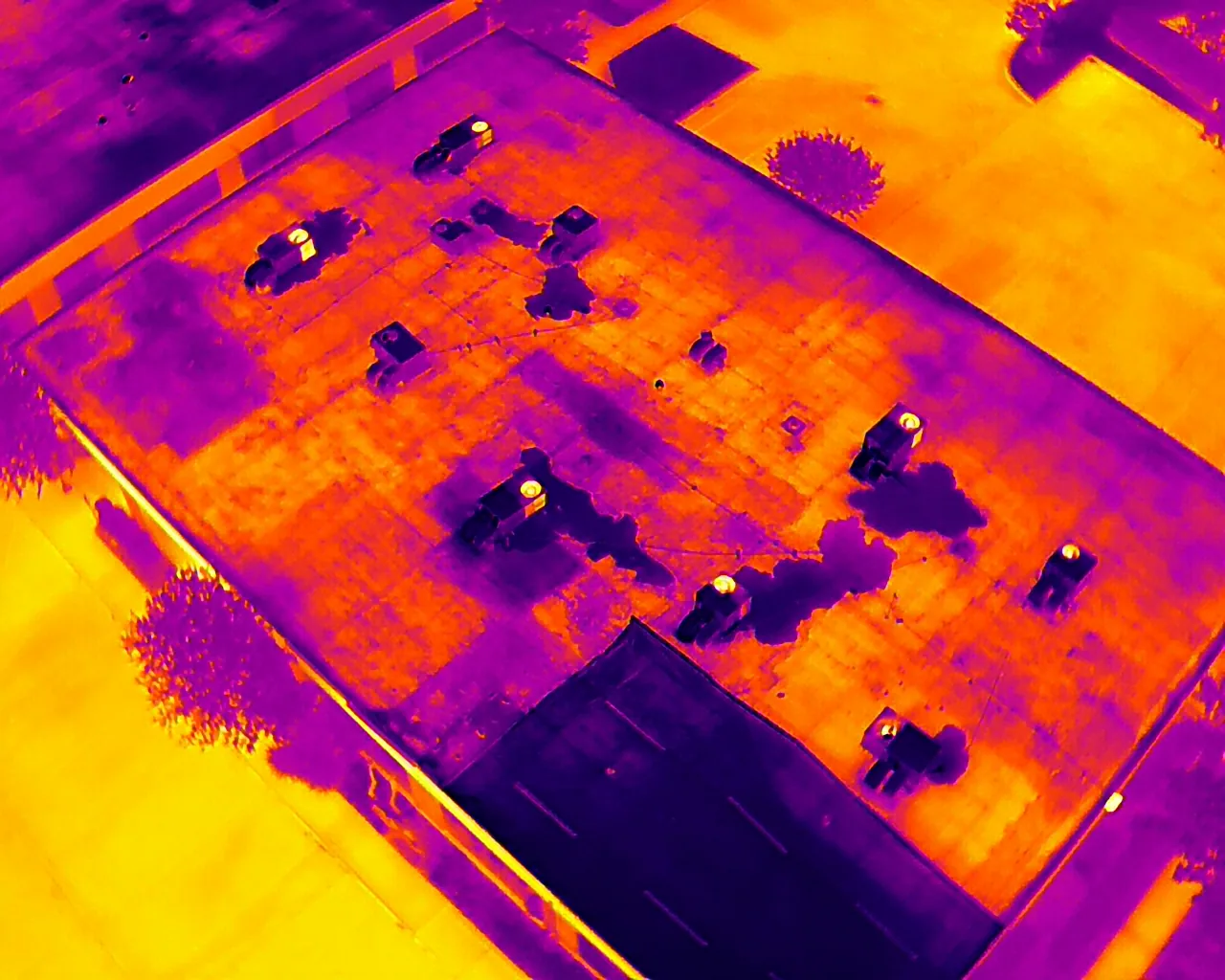
Images do not show what sits beneath a membrane. A dark patch cannot establish wet insulation. A seam that looks intact from above may still need a hands-on bond check. Wall flashing, curb terminations, fasteners, and edge metal can require direct inspection at close range. We identify suspect locations from the imagery and return to them using an appropriate access method. Where moisture matters, infrared review or core cuts answer a different question.
The City locates Harmony Grove Industrial Park along Citracado Parkway between Auto Park Way and Avenida del Diablo. Its adopted plan covers about 476 acres, with development standards for 201 acres and employment lots planned from one to 40 acres. We label images by roof section and building rather than treating a plan boundary as a single roof. A hands-on roof inspection remains the basis for repair recommendations, while a moisture survey can test specific concerns.
Flight and Image Plan
Before imaging, we confirm the site's approved access, staging location, restricted areas, and operating schedule. The owner or general contractor should identify active loading routes, sensitive outdoor areas, and equipment that cannot be disturbed. We define roof sections and image purpose before scheduling, subject to site conditions.
Aerial views work best when the image plan follows the roof assembly and decision. We group images by section, then capture the details that need comparison. This can include roof edges, drainage areas, transitions, skylights, and equipment clusters. If an area is blocked by trees, structures, glare, or weather, we note the gap. The report should not imply complete coverage where no clear image was obtained.
Image quality is useful only when a viewer can locate the subject. We label each section, keep a consistent naming scheme, and connect close views with an overall roof reference. A still image supports a field observation but cannot confirm material adhesion or hidden layers. When an image suggests a puncture or separated flashing, the next step is a closer check. A condition report can combine aerial imagery with Diligence Notes and repair priorities. A repair scope can then identify the material and access method needed.
Access Without Guesswork
Drone imaging changes how a roof is viewed, not the need to coordinate the property. We confirm who can authorize access, when exterior areas are clear, and whether building operations restrict flight timing. A general contractor may need the images before pricing repairs or arranging other trades. The schedule should include a review step so the team can request close inspection of any flagged detail.
Escondido's commercial land-use areas include Downtown and the East Valley Parkway Commercial Area. The latter plan covers roughly two miles of commercial district and includes revitalization and access considerations. We coordinate with the actual property contact about access, boundaries, and current site activity. A East Valley Parkway commercial-area review should still be planned around the building's own rules and surroundings.
Wind and weather affect image capture. Southern California's Santa Ana winds occur most often from September through May. They are dry and can be warm or hot. We fly only when wind and site conditions permit safe, useful imaging. A regional weather pattern does not establish damage at a particular building. If wind exposure is part of the inspection request, the image set can help locate visible edge conditions for a later field check. A wind damage assessment must rely on observed details, not an overhead image alone.
Image Review and Field Confirmation
After capture, we review the images for visible conditions and compare them with repair records, leak locations, and roof plans. Each observation gets a roof-area label and a recommended next action. Others may call for a hands-on inspection, moisture test, or safe access with a lift.
We distinguish visible debris or surface marks from confirmed material failure. A bright reflection can conceal a seam. A drain seen from above may appear clear while a lower outlet remains blocked. We include these limits when they affect interpretation. The goal is to reduce uncertainty about where to look next without pretending the camera can see through the assembly.
For a large or complex roof, a set of overview images can improve repair coordination. The general contractor can identify work areas, staging limits, and mechanical access before mobilization. Images may also help compare conditions across roof sections during a later review. They do not replace a condition record with dates, system information, and field observations. A written roof condition report keeps those pieces together. For replacement budgeting, capital planning can sort immediate corrections from future scopes.
A Useful Image Set
Share the roof plan, known leak locations, access restrictions, and the question the images should answer. If the property has several elevations or assemblies, label those areas in advance. Tell us whether the project needs visible-condition documentation, a repair-planning view, or a comparison with prior imagery. We will define the image set and any field confirmation separately.
The final record should include an overview, labeled roof sections, close views where useful, capture date, access limits, and follow-up recommendations. If an image points to a suspected defect, we mark the need for hands-on review instead of claiming hidden failure. The project team can use the record to direct access and pricing.
Call to schedule drone roof imaging or to discuss a combined aerial and hands-on review. We can match the capture plan to the roof areas and operating schedule, then identify which findings need physical confirmation. For an active leak or exposed assembly, the property team should follow its incident plan rather than wait for a complete image set. The next inspection step depends on the condition and safe access at the site.
Frequently Asked Questions
Can drone images confirm wet insulation?
No. Images show visible surface patterns, not moisture beneath the membrane. Infrared review can identify areas for follow-up, and a core cut can expose selected layers. We recommend the test that answers the owner's repair or replacement question and record the limits of the sample.
When is drone imaging useful for a commercial roof?
It can help document broad sections, hard-to-reach areas, visible ponding, equipment layout, or roof edges. Restricted access may also make an aerial view useful. The image plan should identify the decision it supports and what still requires hands-on inspection.
Does every roof area receive the same image coverage?
Coverage depends on safe flight conditions, site restrictions, visibility, and access. Trees, structures, glare, weather, or active operations can block views. We label areas that could not be captured and avoid treating a partial image set as a full inspection.
Can images be used to price a repair?
Images can help locate a likely work area and coordinate an access plan. A close inspection may still be required to verify the system, adhesion, flashing, or concealed moisture. The repair proposal should state what was confirmed and what remains an allowance or field decision.
What should the contractor provide before the flight?
Roof plans, access rules, active work areas, operating hours, known leak locations, and prior images help set coverage. Identify who approves property access and where staging is permitted. We confirm those items with the site contact before setting the image plan.
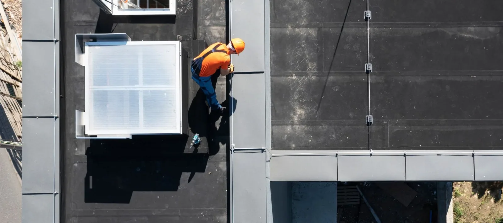
Plan Aerial Roof Coverage
Share roof plans, access limits, known problem areas, and the decision the image set should support. We will define coverage, identify field checks, and coordinate a review with the project team. Call to schedule drone imaging or a combined inspection.
Call 555-555-5555 or email [email protected].